
The Recent Haboob in New Mexico & Arizona:
Very stunning video footage and images of the haboob that happened this past Wednesday, June 19th.
🌬️ 🌬️ 🌬️ 🌬️ 🌬️ 🌬️ 🌬️ 🌬️ 🌬️ 🌬️
Some Details:
Here is captivating footage of a recent haboob (dust storm/plume) that swept through southern New Mexico on Wednesday, June 19th. This remarkable footage showcases the sheer magnitude of the storm.
The haboob from New Mexico and eastern Arizona has caused hazy conditions in Phoenix and central and southern Arizona. If a dust storm is visible from space, it indicates its immense size. The hazy first and second days of summer in the Phoenix metro and central and southern Arizona are caused by dust carried from decaying thunderstorms in New Mexico and eastern Arizona.
The National Weather Service meteorologists were busy with severe weather on Wednesday, including hail, flooding rain, and strong winds. The haboob, from New Mexico on Wednesday contributed to the hazy skies in Arizona on Thursday. The dust can travel hundreds of miles and was visible on weather satellites, and you know when it is clearly visible from the satellite, that it is going to be a large sight and could also lead to hinderance and health alerts. The dust can be carried for hundreds of miles by these outflow boundaries, and it was visible on weather satellites that orbit the Earth. The massive haboob on Wednesday was estimated to be over 200 miles long. The outflow moved the dust towards the west and reached our state during the night from Wednesday to Thursday.
National Weather Service meteorologists were busy dealing with severe weather from El Paso to Albuquerque on Wednesday. Huge thunderstorms brought heavy hail, flooding rain, and strong winds across the Land of Enchantment and beyond. Just like in Phoenix during our summer monsoon, when those tall thunderstorms collapse, the cold air that falls to the ground can create huge dust walls. This can lead to high levels of PM-10 particles. Air quality gauges in Maricopa County showed high levels of PM on Thursday afternoon. For anyone with medical conditions, I offer my prayer for everyone affected.
The hazy skies today could be caused by a few different things. One reason is the big dust storm that happened in New Mexico on Wednesday. Some of that dust blew over to Arizona and could still be hanging around on Friday, making the air hazy. Another reason could be the dust that got stirred up from the thunderstorms near Phoenix yesterday. This dust could have made its way to the higher areas and mountains in eastern Arizona, adding to the haze. And since it’s wildfire season in the western U.S., some of the smoke from those fires might also be making the air hazy. Although the haze should eventually clear up, there might be more thunderstorms in the next few days that could kick up even more dust.
See Short Video on Twitter:
Massive Haboob heading east to west across southern New Mexico. Reports of less than a 1/4 mile visibility SE of Deming. If traveling along I-10 west of Deming & I-25 north of Hatch, please use caution!!!! #nmwx pic.twitter.com/7vFJ6B1EQG
— NWS El Paso (@NWSElPaso) June 20, 2024
Video: @NWSElPaso on Twitter/”X” – Click here if Twitter widget does not show
See Image on Twitter:
The longest day of 2024 is coming to a close as an almost full moon is rising. (June 20)
Dust in the air made for hazy viewing of the canyon today, the first day of summer.
The dust is from yesterday’s haboob, a massive wall of a dust storm that rolled through southern New… pic.twitter.com/nCJs2N2PeQ
— Grand Canyon NPS (@GrandCanyonNPS) June 21, 2024
Image: @GrandCanyonNPS on Twitter/”X” – Click here if Twitter widget does not show
See Images on Facebook:
We were curious, too!
Posted by Coconino County on Thursday, June 20, 2024
Images: @CoconinoCounty on Facebook – Click here if Facebook widget does not show
See Tips: Preparedness Before, During & After a Tornado:
The Danger of a Heat Wave ’24 – Summer & Fall Weather Series + Resources
The Danger of Wildfires ’24 – Summer & Fall Weather Series + Resources
The Danger of High Winds ’24 – Spring & Summer Weather Series + Resources
🌬️ 🌬️ 🌬️ 🌬️ 🌬️ 🌬️ 🌬️ 🌬️ 🌬️ 🌬️
MORE RESOURCES:
Versatileer WEATHER PAGE:![]() Versatileer PREPAREDNESS/COMMONSENSE TIPS & POINTERS:
Versatileer PREPAREDNESS/COMMONSENSE TIPS & POINTERS:

Tropical Activity & Wildfires Report, Tropical Systems-Atlantic & Pacific + wildfire forecasts:
![]()
Hurricane Preparedness Kit, courtesy of the Ward Law Group: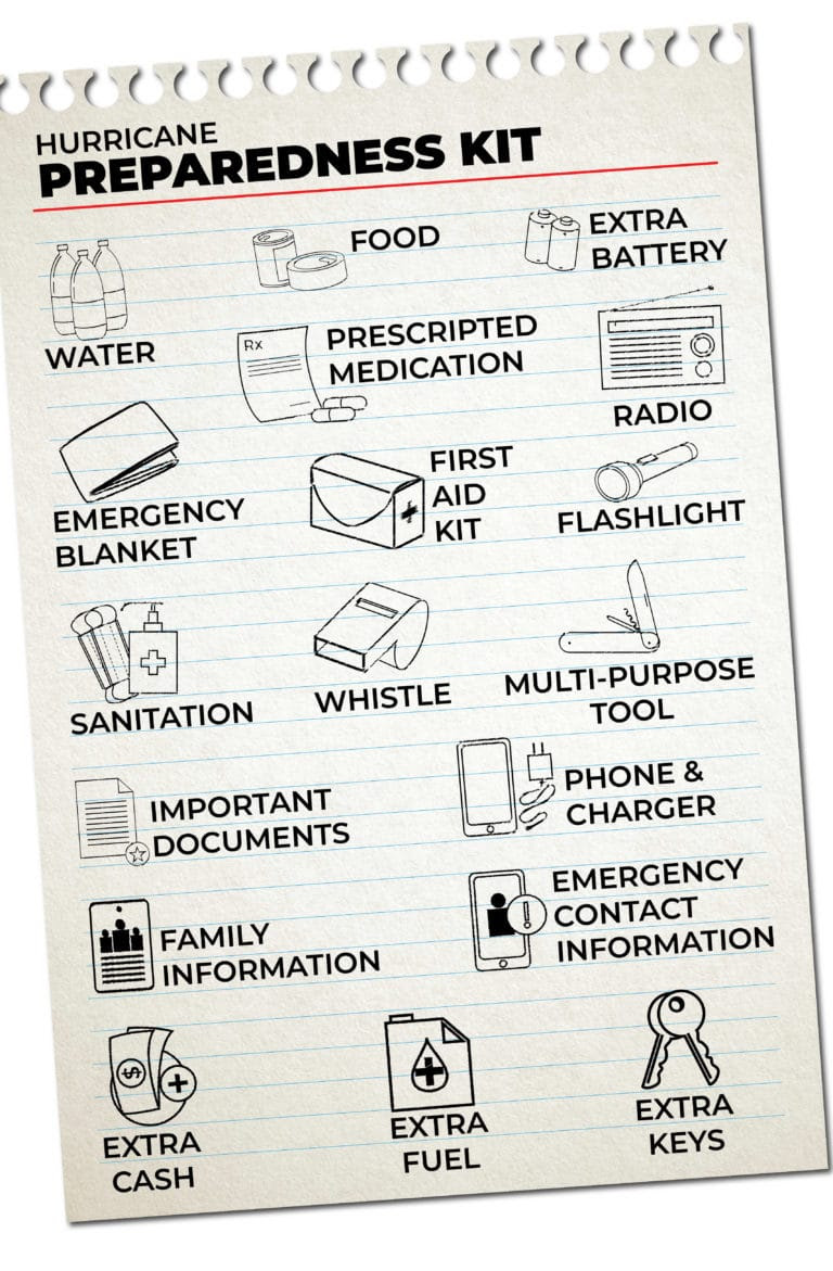
FIND YOUR LOCAL NOAA.com WEATHER RADIO STATION:
FIND YOUR LOCAL NATIONAL WEATHER SERVICE FORECAST:
ENERGY USAGE CALCULATOR: Interactive comparison tool courtesy of Energy Use Calculator: energyusecalculator.com
![]() ENERGY USAGE CALCULATOR: Interactive comparison tool courtesy of saveonenergy.com
ENERGY USAGE CALCULATOR: Interactive comparison tool courtesy of saveonenergy.com GUIDE TO ASBESTOS & DISASTER: What to know during natural disasters
![]()
STAY SAFE!!!

Image courtesy of @NWSElPaso on Twitter/”X”
☀️ Current Weather
Click Blue Button
More on Versatileer:
![SharkFestGiveaway_LMM_SQUARE.jpg]()
Ends 07-31 – Nat Geo Kids $70 Shark Book Giveaway!
07/09/2024![Nat Geo Kids Books Fall Prize Pack Giveaway.jpg]()
Nat Geo Kids Books Fall Prize Pack Giveaway! – Ends 10-31
10/07/2021![Merry Christmas!]()
Merry Christmas!
12/23/2020![Catching the Spark- Unconventional Paths to Reignite.jpg]()
Catching the Spark: Unconventional Paths to Reignite Creativity
06/08/2025![wp-17619693605272752435226638874736.jpg]()
Featured Photo & Video: The 31 Days of Halloween – Bonus Photo Set: Haunt On 73rd, Palos Heights
11/01/2025


Be safe everyone