

My prayers go out to all areas involved in the recent severe tornadoes outbreak and severe storms.
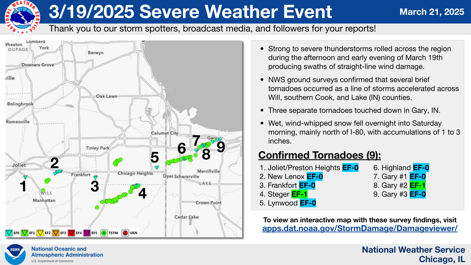
On the afternoon and evening of March 19th, a series of thunderstorms moved through northern Illinois and northwest Indiana. This line of storms produced a path of damaging winds in the southern and southeastern suburbs of Chicago, along with the occurrence of eight embedded tornadoes.
Some Details of the 03/19/25 Outbreak:
On Wednesday, March 19th, a significant low-pressure system moved from the central Plains into the Upper Midwest, resulting in blizzard conditions in Nebraska and Iowa, as well as blowing dust and wildfires in the southern Plains. Additionally, severe thunderstorms and tornadoes impacted Illinois and Indiana.
In northern Illinois and northwest Indiana, a line of thunderstorms progressed during the afternoon and evening of March 19th. This system produced damaging winds across the southern and southeastern suburbs of Chicago, along with eight tornadoes occurring within the storm.
The severe weather event confirmed a total of eight tornadoes:
- EF-0 in Joliet, IL
- EF-0 in Frankfort, IL
- EF-1 in Steger, IL
- EF-0 in Lynwood, IL
- EF-0 in Highland, IN
- EF-0 in Gary, IN
- EF-1 in Gary, IN
- EF-0 in Gary, IN
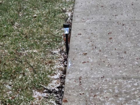
Numerous communities experienced significant amounts of pea-sized hail, which blanketed the ground. The largest hail reported reached sizes comparable to half dollars in central Cook County.
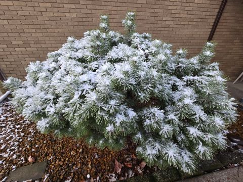
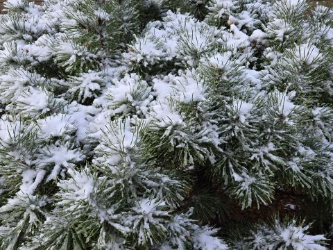
Following the thunderstorms, a band of rain formed late in the evening, which later transitioned into a wintry mix that included accumulating sleet and heavy, wet snow through the early hours of Thursday morning.
Preliminary Reports:

See Video on YouTube:

Video: Charlie Bourdo @charliebourdo on YouTube – Dusty Illinois Tornado Warnings! – 3/19/25 Storm Chase
See Video on YouTube:

Video: @Jerry Marquardt on YouTube – Recent Severe Storms & Tornado Outbreak in Illinois & Indiana: 03-19-25
See some Images:

© 2025 Versatileer
© 2025 Versatileer
© 2025 Versatileer
© 2025 Versatileer
Photos taken with a Samsung Galaxy S24 with the factory triple camera system: 50 MP sensor with an f/1.8 aperture and OIS, ultrawide camera has a 12 MP sensor with an f/2.2 aperture and a 120-degree FOV, telephoto camera has a 10 MP sensor with an f/2.4 aperture and 3x optical zoom.
Safety is the upmost important factor in any disaster. Once disaster strikes, the outcome of recovery both financially and just in general can be very disastrous in itself. I am reaching out to give Resources For Recovery information, should a disaster of any type strike, so that the information is available to you, for your reference.
See Tips: Preparedness Before, During & After a Tornado (watch for updated spring/summer weather safety series starting April):
The Disaster Toolkit – 2025 + Resources For the Home, Family & Financial Recovery
The Danger of Tornadoes ’24 – Spring & Summer Weather Series + Resources
🌪️ 🌪️ 🌪️ 🌪️ 🌪️ 🌪️ 🌪️ 🌪️ 🌪️ 🌪️

© 2025 Versatileer
ILLINOIS/INDIANA STORMS: 3/19
MORE RESOURCES:
STAY SAFE!!!
☀️ Current Weather
Click Blue Button
